Turn real terrain into laser-cut topographic maps.
A place you love. A thing you make. Create layered terrain reliefs and flat topographic engravings from real elevation data, then export SVG files for your laser software.
See how real elevation becomes a stack of contours. Follow the example, then generate fresh terrain to create your own fabrication files.
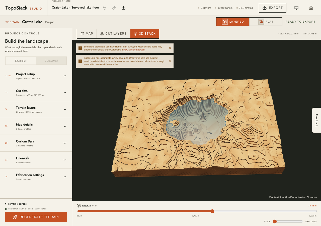
Crater Lake with USGS surveyed bathymetry where available. Gaps use existing terrain or modeled depths; depth is exaggerated.Follow the Crater Lake project
Behind the contours
Real terrain, with a little context.
Built on shared map data
TopoStack combines Mapzen elevation tiles with Protomaps and OpenStreetMap features. HydroLAKES and GLOBathy support lake detail. Exported projects include source attribution.
Project settings are saved in this browser. Export a project-settings JSON file to keep a backup or move your settings to another device. Place search and map data require an internet connection.
Terrain and map data are intended for decorative projects, not surveying, navigation, or engineering. Review the exported artwork and your machine settings before fabrication.
Built in the open
Open source. Built with AI.
TopoStack is my spare-time project. I’m a solo developer, and AI helps me turn ideas into working software and make the most of the time I have.
The code is open source, so you can explore how it works, follow its development, and help make it better.
TopoStack is free to use with no account required. Donations are optional, and every export is available without donating.
What files can I export?
Layered projects include SVG cut panels, engraving companions and an assembly guide. Flat engraving produces one SVG at your chosen physical size. Both workflows support a project-settings JSON backup.
Can I cut the initial Crater Lake preview?
Generate fresh terrain first. The bundled preview lets you explore the controls; fabrication export requires current real terrain and all requested map data.
Where is my project saved?
Settings are saved in this browser. Export a settings backup before clearing browser storage or moving devices. Imported and restored settings need fresh generation before fabrication export.
Keep the contours coming
Support TopoStack
If TopoStack helps you make something meaningful, consider supporting its development. Donations are optional; every export is available without donating.